Sunday, August 26, 2012

Part II: Setting out and entering the Canadian Parks

Work had been pretty harried right up to the day before I departed for this trip to the Rockies. I'm a medical programmer for a small but very cool company in Seattle. And of course, with small companies, there's never a dull moment. However, I completed a custom programming task for a customer and was able to walk out the door free and clear, the day before departing for Canada.

The first day on the road was really a mile burner, about 400 miles from home in the Everett area to the town of Revelstoke. The whole point was to get almost to the entrance to the Rockies so that the second day would be all spent riding through the cool stuff that was the point of the trip. So on this trip, I was out the door at 7am and didn't make any real stops or take many pictures until nearly the end of the day.

(Here are some pictures and narrative from the 2010 trip, however: looking for Eureka's Cafe Diem in Chilliwack; stopping in Canada's "Country and Western Capitol" in Merritt; Kamloops)

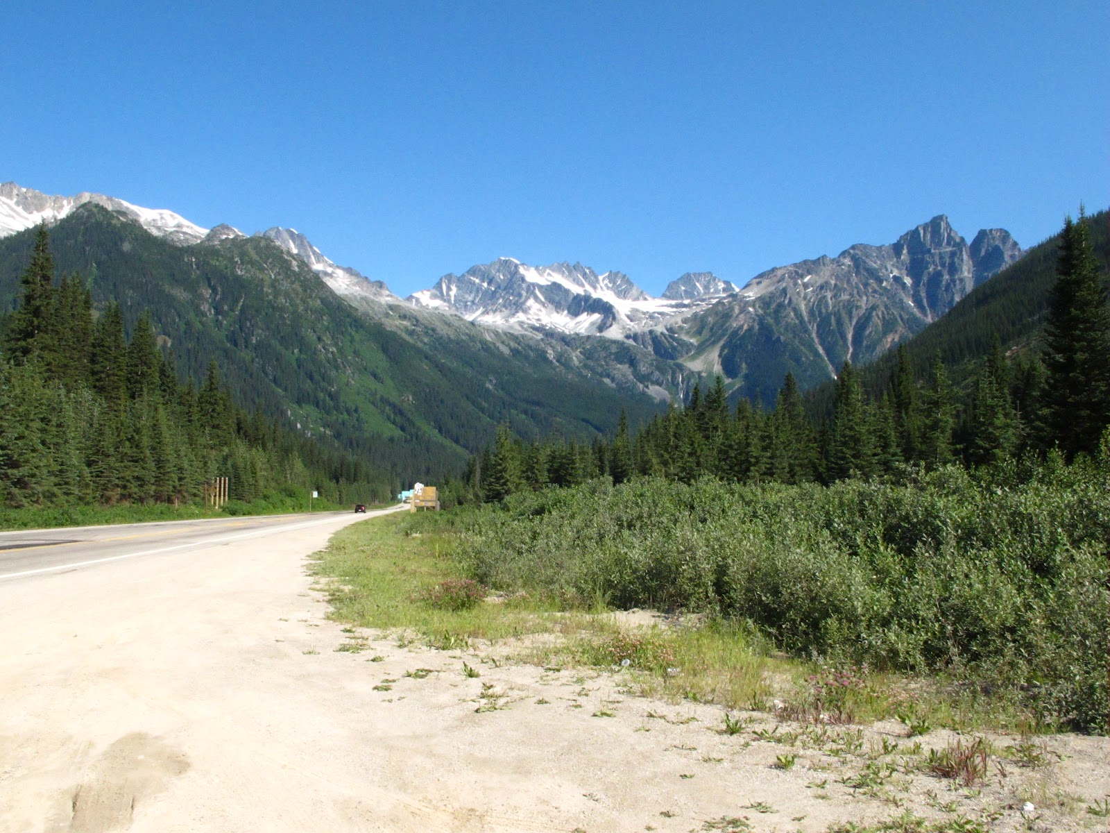
Getting into British Columbia and driving is always something I look forward to: traffic is lighter and the drivers almost ALWAYS keep right except when passing. Encountering an oblivious left lane camper like the ones who infest Seattle is really rare. Traffic moves briskly...

One quick stop for gas and a sandwich in Kamloops, where I was asked by a Russian family how to get back to the Trans-Canada Highway. Having to dig through my belongings to where the map book was buried was a little embarrassing but I did manage to find the map book and help them. The takeaway from this to keep maps easily accessible even when I know the route. Chances to interact with people are something I want to INCREASE, since just blasting along limits the enjoyment of these trips.

During the 2010 trip, having to take a detour around a bad accident scene had me arriving in Revelstoke pretty late and I was unable to make one planned stop. Craigellachie is the spot where the last spike in the Canadian Pacific Railroad was driven, fully connecting Canada's East and West coasts. This time, I was riding into Revelstoke in the afternoon and managed to stop there. These plaques commemorate the event and location.


This cairn contains an official marker, commemorating the event. One interesting bit about the cairn that I did not know until  later is that the cairn has embedded in it stones from all Canada's provinces and territories at the time that it was built.


Here's a mediocre shot of the last spike,conveniently painted gold along with an arrow pointing towards it.


Moving along towards Revelstoke, here are a couple shots of the picturesque Three Valley Lake Chateau.


Having reached Revelstoke, I checked into the Alpine Inn and Suites.It was definitely a place where I'd stay again, reasonably priced for a motel on the edge of a National Park in Summer and pretty motorcycle friendly, with the owners making a point of saying that they hoped I'd visit again. The room also had a refrigerator and microwave.

Having checked in pretty early, I went out to wander around town and pick up some food. Revelstoke is a neat little town and its prime location makes it a place that I look forward to eventually staying in and not just passing through, some day. A friendly Canadian couple on a  Harley stopped to ask what the Tiger is like (fantastic and a bit more comfortable to ride for longish distances than the Speed Triple) and we talked motorcycles for a few minutes.

Walking back through the town, I happened across some neat photo opportunities. Saint Peters Church seems to have the gravestone for Walter Moberly, mentioned on the Craigellachie plaques as having discovered the Eagle Pass.


And there is no disputing the aptness with which the Mountain View Elementary School is named


The next morning, I quickly checked out of the motel and pushed on towards the Rockies. After Revelstoke National Park comes Canada's Glacier National Park, with its grim warnings of avalanche dangers and tunnels tasked with protecting parts of the road from falling debris. The next few pictures were taken at Rogers Pass. They illustrate well the increasing beauty of the area. The purpose of the artillery piece is not to repel American invaders but to trigger controlled avalanches.


 Then account of this second day will continue in the next entry, which covers actual entry into the Canadian Rockies.

Monday, August 20, 2012

Visiting the Canadian Rockies Again (Part I)


Last week, I had the good fortune to make a much anticipated return trip to the Canadian Rockies. The map above shows my overall route, 1584 miles in 5 days. I'll be gradually adding from the 300ish decent pictures that I captured but for now, here are some of the highlights:
  • meeting my friend Rob and his family, Amy and Zoe, some of their friends and co-workers
  • a great day hike up Sulphur Mountain in Banff
  •  capturing my own photos of the cliff that killed my first Triumph, three years ago
  • tagging Kootenay National Park, the only of the Big Four that I hadn't seen before
  • visiting Yoho National Park again
It was a great trip and it's going to take some time to organize all of the pictures and impressions I gathered there...in the meantime, here's a brief outline of the trip's timeline:

Day 1: a quick blast up the Trans-Canada Highway and the Coquihalla Highway to Revelstoke, BC. Not many stops along the way, though I did stop at Craigellachie, the spot where the Canadian Pacific Railway completed its span across Canada, connecting East to West.

Day 2: continued across Rogers Pass, through Yoho National Park and into Banff. Met up with friends.

Day 3: visited Kootenay National Park, took some photos around Banff and climbed Sulphur Mountain, met friends for happy hour at the awesome Banff Ave Brewing Company

Day 4: unfortunately, had to head home. A brief stop at a couple favorite spots in Yoho NP and then back through the Rockies to Revelstoke. Headed towards Nakusp this time. First ferry ride with a motorcycle, from Shelter Bay to Galena. A visit to the Nikkei Internment Memorial Centre in New Denver. Past the cliff that totaled my first Triumph 3 years ago. On into Nelson, whose supposed tradition of hot tubbing was not easily found

Day 5: a couple photos by the firehouse from Steve Martin's movie Roxanne and then the long ride home

Thanks for reading!


Western Canada Travels, Past and Present


The map above shows all of my motorcycle travels into Western Canada on one map on the face of  it, it seems like decent coverage for just a few trips up North.

Until you pull back the map a bit and look at how much of British Columbia, Alberta and the Northern Territories I haven't traveled yet. There's a tremendous variety of places to visit yet: the Yukon (e.g., Whitehorse, the blue X above) and Haida Gwaii (the islands with the black X) are particularly interesting. There is also a lot of cool stuff in Southern Alberta, circled in red.

Even in the places I've already visited, there are also many more things to see and do. The Canadian Rockies are a treasure trove of experiences and there's also a lot more to see and do in the nearby Cariboo region.

I can't wait to get back!