Thursday, September 13, 2012

Part IV: Exploring...

Day #3 of my trip to the Rockies started out chock full of activities planned. The agenda included:
  • taking a look a look around Kootenay National Park, the one park of the big 4 that I hadn't seen yet
  • heading back to Banff and taking some pictures in town
  • hiking up Sulphur Mountain
  • meeting Rob and some friends for happy hour
Heading back through Banff NP on the way to Kootenay NP, I stopped and captured a few photos. These pictures show a lot of gorgeousness but these are just typical views all throughout the parks.


Kootenay National Park was create in 1920, with the twin goals of protecting a gorgeous region of the Rockies and facilitating automobile access throughout the region. That is why the park is basically a long strip of land 5 miles to each side of Highway 93, as it winds its was from Radium Hot Springs to the Banff park, shaped like a lightning bolt (or Harry Potter's scar, for us word nerds).

This first shot in the park is of the Triumph in front of the iconic Continental Divide sign board. The sign is positioned on top of the actual line dividing the Banff and Kootenay parks and marking the divide where on one side water flows towards the Pacific Ocean and on the other side ut flows East, towards the Atlantic. All through Kootenay Park I was struck by how under-visited it was,compared to Banff, Jasper and even Yoho. Yet like the larger parks, there was gorgeous scenery all around.


Riding on, I stopped to take photos at various points and encountered spots where there were huge stands of trees burned years earlier in one of several forest fires.


Remains of a forest fire


A last photo as I headed back towards Banff.


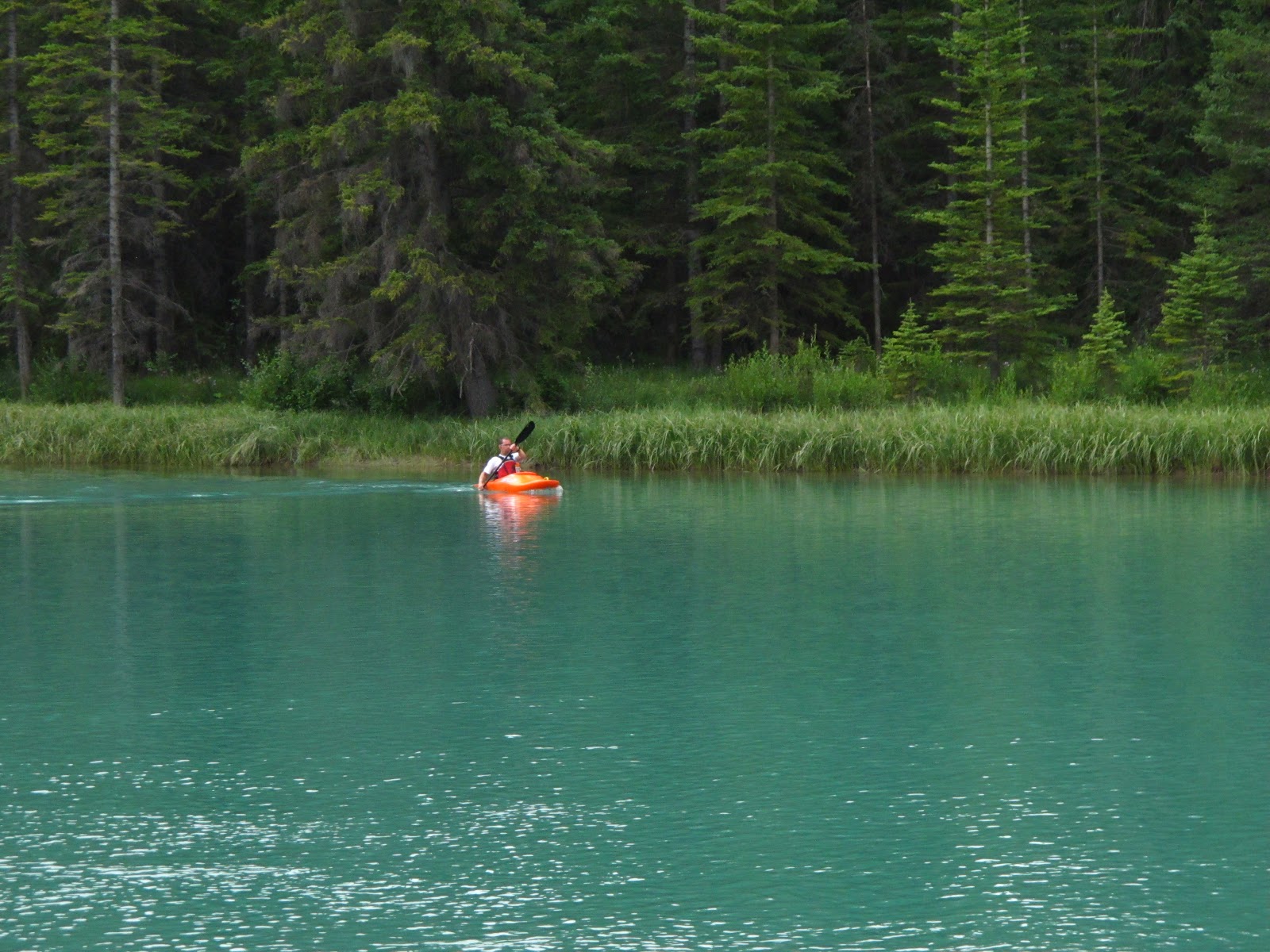
Having visited Kootenay NP, I returned to Banff. First, I wandered around the library and downtown. Frankly, it's pretty amazing to me that people are able to work in Banff with the town itself surrounded by amazing opportunities for hiking and kayaking...




Moving along, I walked over to the Old Banff Cemetery to get some photos of headstones and crypts in which many pioneers and early residents of the Rockies are buried. What are their stories? Some of them I know but others are a mystery and I'll have to find out what I can about them.

Note to anyone else tempted to take photos here: the mosquitoes are RAVENOUS. bring bug spray!


This headstone looks as if there's a lifelong love story behind it...


And the there's this family crypt...


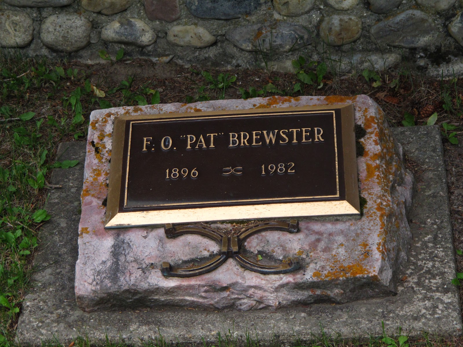
The Brewster family has had a huge influence on the story of the Rockies and their early settlement. Article


I really enjoyed the idea of having this quiet bench in the shade of a tree, with its reminder that respect should be shown to those resting there.


Maybe it makes me a hopeless romantic but seeing gravestones testifying to eternal love is incredibly romantic.


Finally, a monument to Tom Wilson, an early explorer credited with finding and naming two Emerald Lakes in the Rockies. The name Emerald Lake stuck to the lake in Yoho NP. The other Emerald Lake is now known as Lake Louise.


After leaving the Banff cemetery, I took the opportunity to finally have a hike in the Rockies. It wasn't a multi-day trek into the wilds of the park but it was a hike up a mountain with elevation gain intermediate between Little Si and Mount Si, in the Seattle area. While a lot of people rode  a gondola both up and down the mountain, it was an fun challenge to hike up and not very crowded on the trail.

The view part way up.

A well camouflaged chipmunk


One of the dozens of switchbacks on this steep trail


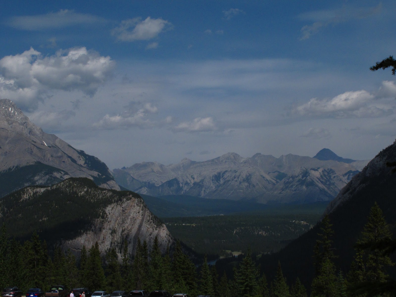
This photo was taken NEAR the top. Once you reach the area where the gondola drops you off, there is a further small hike up to the very top, at the former Cosmic Ray research station


Retired Cosmic Ray Research Station on top of Sulphur Mountain


With time being short, I rode the gondola back down and barely made it in time for happy hour with Rob's group


Wednesday, September 12, 2012

Part III: Reaching the Rockies


One great thing about traveling through Western Canada is that there is an incredible variety of different regions and climates to choose from. I've had the good fortune of seeing many of them, in my travels.

The Pacific coast North of Vancouver has some magnificent ocean vistas. There are areas like the Cariboo region that are pretty arid and there is even a small desert near Osoyoos. The forests and mountains are absolutely stunning, from the Cascades to the Selkirks. It's immensely attractive to know that you can find any kind of environment you enjoy there, in the Western Provinces.

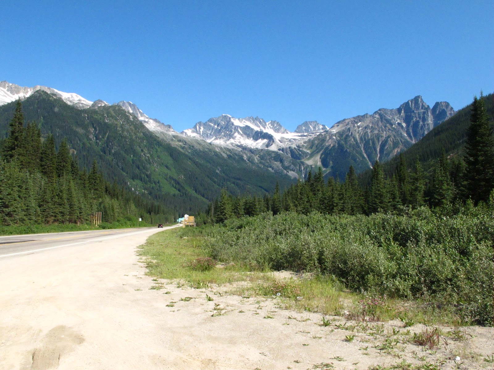
But there are mountains and then there are Mountains. You know you've reached the Rockies when you start seeing vistas like the one above at practically every turn. From about the time you enter the recreation center of Golden heading East, it just keeps getting better and better...now, you're in the Rockies! Once you reach your destination, your next move may be checking into your hotel (which you WILL want to have lined up ahead of time, especially during peak travel periods) and then proceeding to enjoy your visit.

Chances are some sort of recreation in the parks will be involved, whether it be a light walk, a serious hike or canoeing. Here I'll digress a bit to describe the scope of these Rocky Mountain parks:

The Parks of the Canadian Rockies include the large green diagonal region on the right (with the towns of Jasper and Banff in it) as well as the green block on the border that it points toward. The contiguous area includes the large National parks of Jasper and Banff (in Alberta) and Yoho and Kootenay (in British Columbia), as well as the 3 BC provincial parks of Hamber, Mount Assiniboine and Mount Robson. The park straddling the Canada-US border is the International Peace Park made up of Waterton National Park in Alberta and the US Glacier National Park.


The parks have a great deal of variety between them and some research into your options is well worthwhile. Banff is arguably the most well-known and is justifiably famous for its many attractions. Jasper is also also pretty popular and the Icefields Parkway (blog entry from a prior visit) connecting the two is regarded as one of the most spectacular drives in the world.

While those  two parks attract the lion's share of tourists, the adjacent parks of Yoho and Kootenay are also breathtaking in their scenery AND much less crowded. During the course of this trip I got to take a short hike (with stimulating elevation gain) in Banff but also looked around Yoho and Kootenay some more. I love ALL of them and only hope that some day I can finagle a multi-week trip where I can just delve into them without having to always be planning the next day's destinations.

Heading East on the Trans-Canada Highway, the first of the National Parks that you encounter is Yoho. Yoho is named after the Cree expression of awe and all I can think is that understatement must have been a cultural norm among the Cree. A fraction the size of Banff or Jasper, it is chock full of breathtaking sights,
It is a park I have had a deep affinity for since I started looking at BC's wealth of outdoor parks. In 2009, I was heading towards Yoho in a trip that was cut short by an accident. In my 2010 trip, I finally managed to visit Yoho (description here).

At this point in the trip, I was just passing through Yoho, buying park passes (below) and a few souvenirs. On the way home, I passed through Yoho again and took some pictures that will be included in a later post.


 Meanwhile, here are a couple more pictures of the Kicking Horse River, taken near the Field Visitors Centre:


 From Field, I pressed on to Lake Louise in Banff. A major goal of this trip was to socialize with my friend Rob (@xSiteable on Twitter) and his family. I called him from Lake Louise and he kindly invited me over to have barbecue with his family. But first I had to check into my motel, which I thought was in the nearby town of Canmore but was actually a little past Canmore in the picturesquely named town of Dead Mans Flats. Here is a picture of my motorcycle outside of my motel, there.


After dropping off my gear, I made my way over to Rob's house, where I had the good fortune to meet him and his awesome family, as well as a few friends who dropped by for barbecue.

(That's us below at Rob's place. He's the younger dude on the right.)


Spending the evening with Rob and his crew was a much-anticipated high point of the trip, It was a great evening, which I'd been looking forward to for quite a while. We planned to meet the next day for Happy Hour and Rob also had a great suggestion for a hike to do the next day.

Sunday, August 26, 2012

Part II: Setting out and entering the Canadian Parks

Work had been pretty harried right up to the day before I departed for this trip to the Rockies. I'm a medical programmer for a small but very cool company in Seattle. And of course, with small companies, there's never a dull moment. However, I completed a custom programming task for a customer and was able to walk out the door free and clear, the day before departing for Canada.

The first day on the road was really a mile burner, about 400 miles from home in the Everett area to the town of Revelstoke. The whole point was to get almost to the entrance to the Rockies so that the second day would be all spent riding through the cool stuff that was the point of the trip. So on this trip, I was out the door at 7am and didn't make any real stops or take many pictures until nearly the end of the day.

(Here are some pictures and narrative from the 2010 trip, however: looking for Eureka's Cafe Diem in Chilliwack; stopping in Canada's "Country and Western Capitol" in Merritt; Kamloops)

Getting into British Columbia and driving is always something I look forward to: traffic is lighter and the drivers almost ALWAYS keep right except when passing. Encountering an oblivious left lane camper like the ones who infest Seattle is really rare. Traffic moves briskly...

One quick stop for gas and a sandwich in Kamloops, where I was asked by a Russian family how to get back to the Trans-Canada Highway. Having to dig through my belongings to where the map book was buried was a little embarrassing but I did manage to find the map book and help them. The takeaway from this to keep maps easily accessible even when I know the route. Chances to interact with people are something I want to INCREASE, since just blasting along limits the enjoyment of these trips.

During the 2010 trip, having to take a detour around a bad accident scene had me arriving in Revelstoke pretty late and I was unable to make one planned stop. Craigellachie is the spot where the last spike in the Canadian Pacific Railroad was driven, fully connecting Canada's East and West coasts. This time, I was riding into Revelstoke in the afternoon and managed to stop there. These plaques commemorate the event and location.


This cairn contains an official marker, commemorating the event. One interesting bit about the cairn that I did not know until  later is that the cairn has embedded in it stones from all Canada's provinces and territories at the time that it was built.


Here's a mediocre shot of the last spike,conveniently painted gold along with an arrow pointing towards it.


Moving along towards Revelstoke, here are a couple shots of the picturesque Three Valley Lake Chateau.


Having reached Revelstoke, I checked into the Alpine Inn and Suites.It was definitely a place where I'd stay again, reasonably priced for a motel on the edge of a National Park in Summer and pretty motorcycle friendly, with the owners making a point of saying that they hoped I'd visit again. The room also had a refrigerator and microwave.

Having checked in pretty early, I went out to wander around town and pick up some food. Revelstoke is a neat little town and its prime location makes it a place that I look forward to eventually staying in and not just passing through, some day. A friendly Canadian couple on a  Harley stopped to ask what the Tiger is like (fantastic and a bit more comfortable to ride for longish distances than the Speed Triple) and we talked motorcycles for a few minutes.

Walking back through the town, I happened across some neat photo opportunities. Saint Peters Church seems to have the gravestone for Walter Moberly, mentioned on the Craigellachie plaques as having discovered the Eagle Pass.


And there is no disputing the aptness with which the Mountain View Elementary School is named


The next morning, I quickly checked out of the motel and pushed on towards the Rockies. After Revelstoke National Park comes Canada's Glacier National Park, with its grim warnings of avalanche dangers and tunnels tasked with protecting parts of the road from falling debris. The next few pictures were taken at Rogers Pass. They illustrate well the increasing beauty of the area. The purpose of the artillery piece is not to repel American invaders but to trigger controlled avalanches.


 Then account of this second day will continue in the next entry, which covers actual entry into the Canadian Rockies.