Day #3 of my trip to the Rockies started out chock full of activities planned. The agenda included:
- taking a look a look around Kootenay National Park, the one park of the big 4 that I hadn't seen yet
- heading back to Banff and taking some pictures in town
- hiking up Sulphur Mountain
- meeting Rob and some friends for happy hour
Heading back through Banff NP on the way to Kootenay NP, I stopped and captured a few photos. These pictures show a lot of gorgeousness but these are just typical views all throughout the parks.


Kootenay National Park was create in 1920, with the twin goals of protecting a gorgeous region of the Rockies and facilitating automobile access throughout the region. That is why the park is basically a long strip of land 5 miles to each side of Highway 93, as it winds its was from Radium Hot Springs to the Banff park, shaped like a lightning bolt (or Harry Potter's scar, for us word nerds).
This first shot in the park is of the Triumph in front of the iconic Continental Divide sign board. The sign is positioned on top of the actual line dividing the Banff and Kootenay parks and marking the divide where on one side water flows towards the Pacific Ocean and on the other side ut flows East, towards the Atlantic. All through Kootenay Park I was struck by how under-visited it was,compared to Banff, Jasper and even Yoho. Yet like the larger parks, there was gorgeous scenery all around.


Riding on, I stopped to take photos at various points and encountered spots where there were huge stands of trees burned years earlier in one of several forest fires.

Remains of a forest fire


A last photo as I headed back towards Banff.

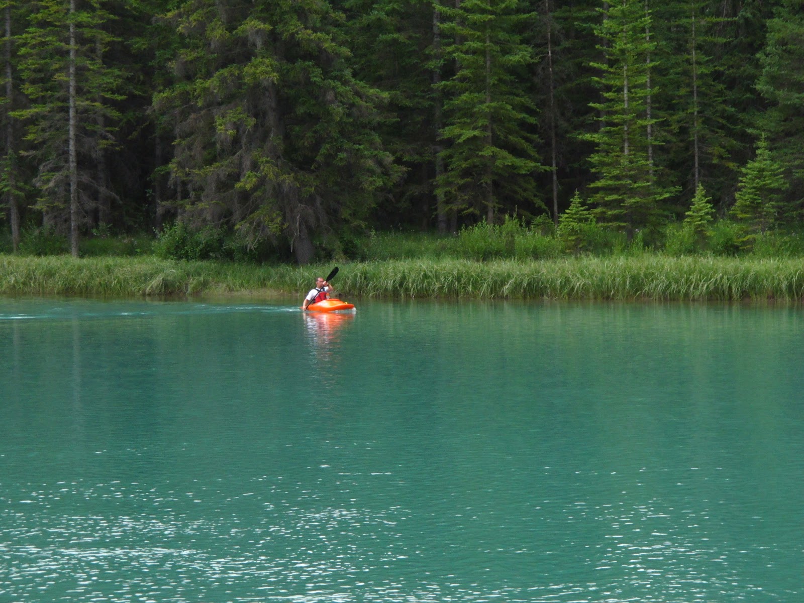
Having visited Kootenay NP, I returned to Banff. First, I wandered around the library and downtown. Frankly, it's pretty amazing to me that people are able to work in Banff with the town itself surrounded by amazing opportunities for hiking and kayaking...


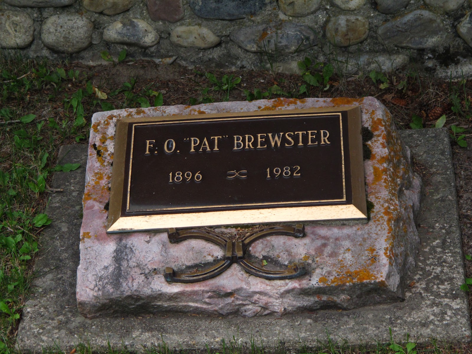
Moving along, I walked over to the Old Banff Cemetery to get some photos of headstones and crypts in which many pioneers and early residents of the Rockies are buried. What are their stories? Some of them I know but others are a mystery and I'll have to find out what I can about them.
Note to anyone else tempted to take photos here: the mosquitoes are RAVENOUS. bring bug spray!


This headstone looks as if there's a lifelong love story behind it...

And the there's this family crypt...

The Brewster family has had a huge influence on the story of the Rockies and their early settlement. Article

I really enjoyed the idea of having this quiet bench in the shade of a tree, with its reminder that respect should be shown to those resting there.


Maybe it makes me a hopeless romantic but seeing gravestones testifying to eternal love is incredibly romantic.


Finally, a monument to Tom Wilson, an early explorer credited with finding and naming two Emerald Lakes in the Rockies. The name Emerald Lake stuck to the lake in Yoho NP. The other Emerald Lake is now known as Lake Louise.

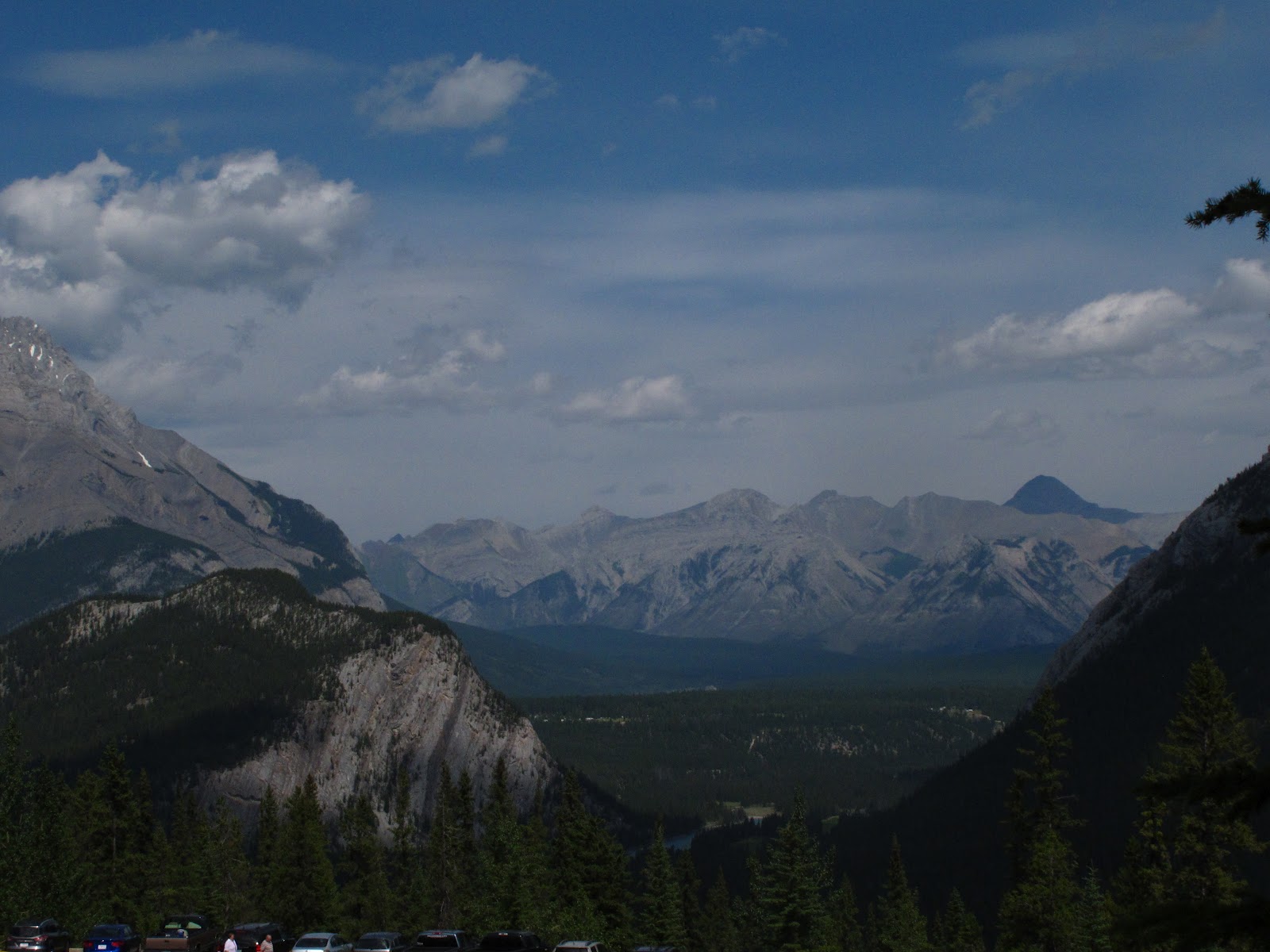
After leaving the Banff cemetery, I took the opportunity to finally have a hike in the Rockies. It wasn't a multi-day trek into the wilds of the park but it was a hike up a mountain with elevation gain intermediate between Little Si and Mount Si, in the Seattle area. While a lot of people rode a gondola both up and down the mountain, it was an fun challenge to hike up and not very crowded on the trail.
The view part way up.
A well camouflaged chipmunk

One of the dozens of switchbacks on this steep trail


This photo was taken NEAR the top. Once you reach the area where the gondola drops you off, there is a further small hike up to the very top, at the former Cosmic Ray research station


Retired Cosmic Ray Research Station on top of Sulphur Mountain


With time being short, I rode the gondola back down and barely made it in time for happy hour with Rob's group


No comments:
Post a Comment