Showing posts with label triumph speed triple jasper banff yoho revelstoke glacier motorcycle canada canadian rockies bc british columbia alberta. Show all posts

Wednesday, August 18, 2010

2010 Canadian Parks Tour - Day #4 Back through Jasper

As I mentioned, I stayed overnight in Hinton, AB. The Howard Johnson folks kindly offered to let me park my bike in a No Parking zone, right outside the window...they offer that privilege to motorcyclists so their bikes will be in sight over night. A nice considerations:


Another result of glacial activity: a local beer brand named after huge glacial erratic (deposited boulder) in Okotoks.


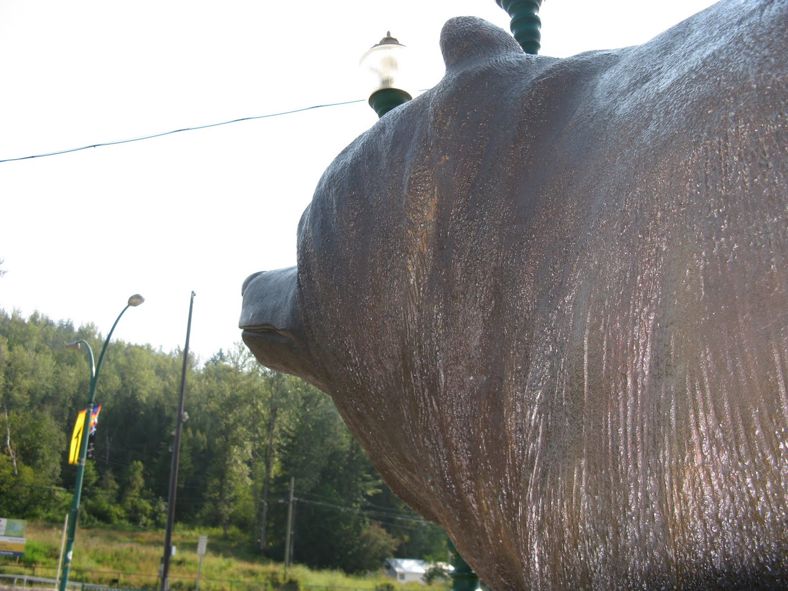
An large grizzly statue outside of a nearby grocery store:


heading back into Jasper National Park


A historical marker for the former Jasper House


And some elk:


Shortly after riding into the park, I cut over towards Maligne Lake. That was not my goal but the next stop, Medicine Lake, lies on the way to Maligne Lake. Stopped to photograph this bear warning...and that digital camera has not worked since.


Luckily, my cell phone has a passable camera built in and I was able to capture these photos of Medicine Lake, my last objective in the National Parks. Medicine Lake is an oddity, as it empties out annually through an underground cave system known as 'karst'. Thus, it fills with glacial melt water during the warm months but empties out as dropping temperatures rob it of its water source. First Nations peoples originally called it Magic Lake.


Leaving Medicine Lake, I noted an impressive bull elk eating by the side of the road, with a small traffic jam developing and numerous people without sufficient instinct for self preservation gathering around it. I hope it was not a Darwin Award in the making!

Sunday, August 8, 2010

2010 Canadian Parks Tour - Day #2 Revelstoke and Glacier parks

Revelstoke by day. I simply can't overemphasize how cool a town Revelstoke seems to be...it reminds me a lot of the bit I saw of Nelson last year. Everyone I spoke with, at the town's Information Centre and the Parks Office was friendly and enthusiastic about helping me find the cool stuff to see, in the area. And on this second day, I was really wishing that my plan for the trip allowed me to stay here an extra day or two and explore the Revelstoke and Glacier parks.


Arriving at Revelstoke National Park, proper.


And then Glacier National Park. Avalanches are VERY serious business here, with massive protected shelters covering large portions of the highway.


Rogers Pass in Glacier National Park

A shot from the information Centre that's being rebuilt now.


And what appears to be a painting from almost the same perspective in "At the Rogers Pass", a painting by John A. Fraser (1886).


By this time I was thinking, if these smaller parks are this gorgeous and impressive, what are Yoho, Banff and Jasper going to be like?

2010 Canadian Parks Tour - Day #1

Day #1 On the way to the border at Sumas/Abbotsford

A little reminder that we have some tasty scenery on this side of the border, too. LOVE the Pacific Northwest!


The right side of the J.Ballam Furniture store below is the exterior location for the Cafe Diem in the TV show Eureka. Location is Wellington Ave in Chilliwack, BC. I'd kind of absurdly hoped that it would be signed as Cafe Diem when I stopped by.


At Hope, I switched over to the Coquihalla Highway. Stopped for food/rest in Merritt, BC, little suspecting that it's the Country Music Capital of Canada.


Later, I stopped for gas in Kamloops.


The Merritt/Kamloops stretch of the Coquihalla seemed pretty dry and desolate. Not sure why it seems that way and yet the Cariboo region around Cache Creek appeals to me.

The day so far had started out foggy and then turned sunny by the time I reached Hope. At Kamloops, a little rain started to fall but it ended pretty quickly. Good for me in terms of riding comfort, bad for an area experiencing wild fires right now.

By the time I reached Salmon Arm, however, the scenery was back to a green forest-like aspect. Just after Salmon Arm, I stopped by the side of the road to stretch my legs a bit and heard a striking bird cry close by. It turned out that an osprey had brought a fish to the top of this utility pole and was enjoying a bit of sashimi.


Here's a view further along Shuswap Lake, which is really quite gorgeous.


As this sign explains, the lake takes its name from the Shuswap tribe.


Unfortunately, there was a very serious accident just before Sicamous and getting from the rest stop where the two photos above were taken to Sicamous, which should have taken around 10-20 minutes, took the better part of 1.5 to 2 hours. Godspeed to the souls who lost their lives there.


The bridge to Revelstoke, at last! (Craigellachie?)


It had been a long first day. I'd planned for about 400 miles in 10 hours of riding but it ended up being about 440 miles/710 km, due to a detour, in 12 hours of riding.